We found groundhogs in the Bay Area
A yellow-bellied marmot in Yosemite National Park. Photo courtesy of Wikipedia.
Introduction
The title of this article is a bit of a stretch. Groundhogs of the Punxsutawney Phil variety are not found in California, as they generally live east of the Mississippi River. However, groundhogs are just large ground squirrels, and ground squirrels are found in California. The biggest ground squirrels in California are yellow-bellied marmots living in the Sierra Nevada Mountains.
But you don’t need to go all the way to Yosemite in search of ground squirrels. We have a population of them right here in the Bay Area. They’re particularly fond of living in the Diablo Range and are commonly found peeking from their burrows in the Mission Peak Regional Preserve. On February 2, follow our hike below to see if these ground squirrels cast a shadow and find out if we’ll be treated to an early spring.
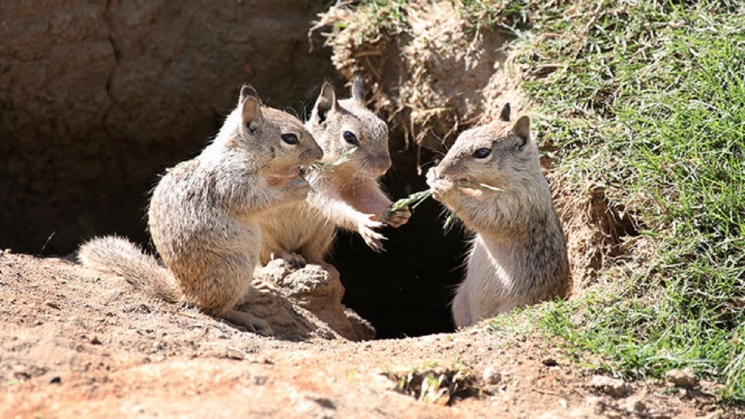
Three California Ground Squirrels sharing some lunch. Photo courtesy of Tehachapi News.
Difficulty
• Beginner-intermediate
Terrain
• Mix of pavement and gravel/dirt trail.
What to bring
Comfortable shoes, water, sun protection (hat, sunscreen), extra layers or rain gear (just in case). A smartphone is handy for maps and looking up information or taking photos. And, of course, your Clipper card. Make sure to download the Ride with GPS app (the app is used for planning bike routes, but works for hikes too) so you can easily reference the route.
How to get there
The hike begins directly outside of the Warm Springs/South Fremont Station. Exit the north side of the station, turn left on Warm Springs Blvd, then turn right Grimmer Blvd to head towards the hills.
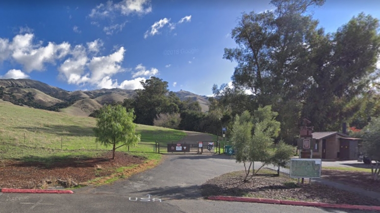
The trailhead. Photo courtesy of Google.
Route
Once you've entered the park, follow Hidden Valley and Ohlone Wilderness trails until you reach the Peak Trail, which will bring you to the Mission Peak summit. From there, follow the Horse Heaven and Peak Meadow trails back down to complete the loop portion of the hike.
About the park
Rising steeply to the east of Fremont, you’ve probably noticed the dramatic Fremont, Mission and Monument peaks when riding BART through the area. The Mission Peak Regional Preserve has more than 3,000 acres of rolling hills, with numerous trails leading up to the park's highest points. From the top of Mission Peak, you’ll be rewarded with views of Mount Hamilton to the south, the Santa Cruz Mountains to the west, Mt. Tamalpais to the north, and Mt. Diablo and the Sierra Nevada to the northeast. Along the way, you’ll share the hike with cows, hawks, vultures, and a herd of feral goats roaming the cliffs.
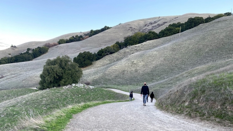
The trail is wide, making it easy to social distance. Photo courtesy of Swetha Ajay.
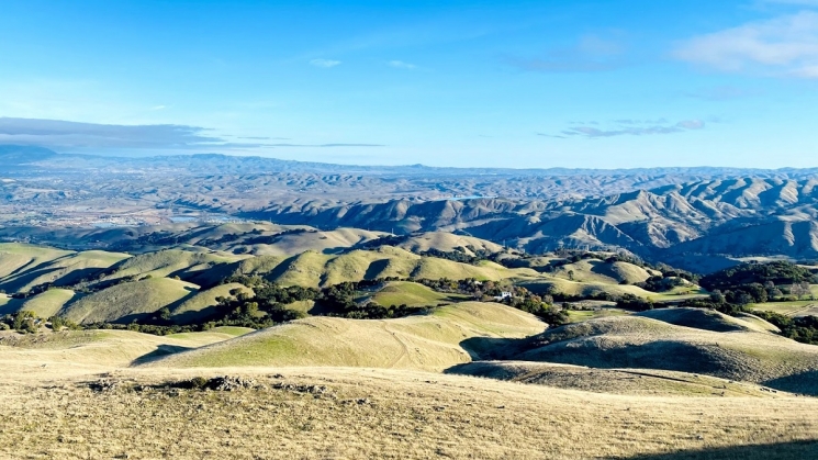
Enjoy beautiful views from the top. Photo courtesy of Swetha Ajay.
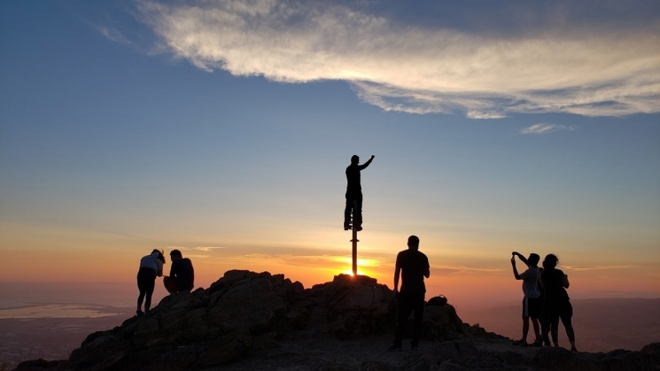
The summit pole is a popular spot for photos. Photo courtesy of Jose Melendez.
Once you've reached the summit, the hard part is over. From there, it's all downhill back to the station.
Let's take a hike.
Did the ground squirrel see its shadow? Let us know on social media. Tag #SFBARTable and follow us on Instagram, Facebook, and TikTok to see all of the best BARTable events, places to eat and where to have fun around the Bay.